

Homepage
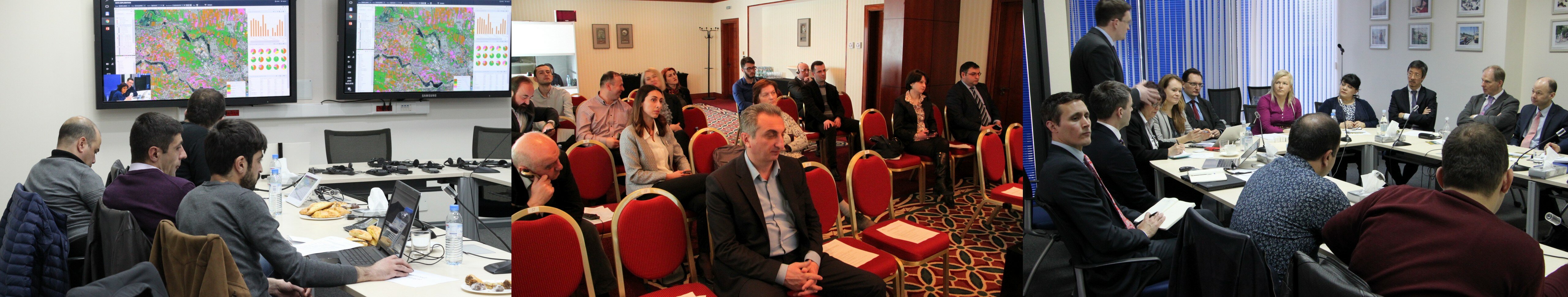
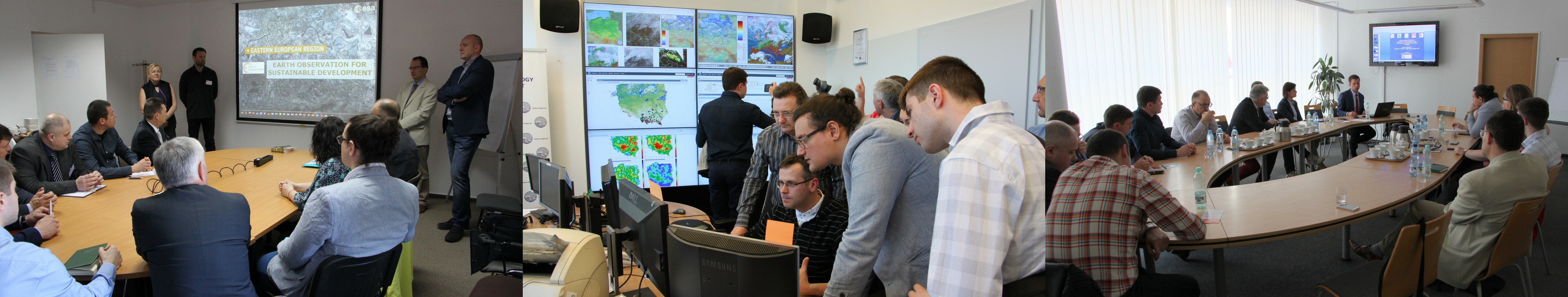
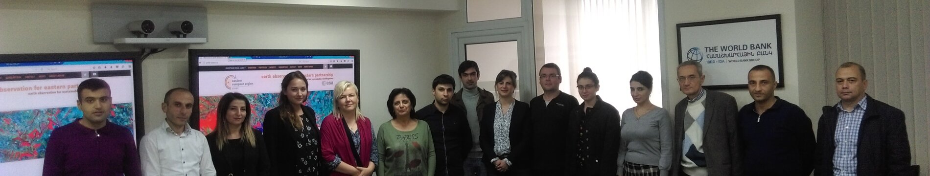
EO4EP – Earth Observation for Eastern Partnership is an ESA initiative which aims to achieve a step increase in the uptake of satellite-based environmental information in the development programs implemented by the World Bank and the European Investment Bank in the Eastern European Region, in particular in order to support the technical collaboration and knowledge exchange among Eastern Partnership countries.
The activities are implemented in the 2016–2018 timeframe, with Phase I (2016-2017) dedicated to the stakeholders’ engagement and requirements consolidation, and the Phase II (2017–2018) focusing on EO information production, delivery and capacity building to ensure that the information brings operational benefits to the users.
The project goals will be achieved by building a strong cooperation with institutions responsible for land/water management and agriculture development in each of the countries participating in the project.
Objectives
The objective of the project is to enhance the provision of the specialized remote sensing information services, analytic tools and geospatial information systems and to leverage new data sources such as Sentinel satellites to support planning, implementation, and monitoring of development projects as well as to provide remote sensing capacity building in three thematic areas:
- Agriculture
- Land Management
- Water Resources Management
The project also aims to develop a portfolio of demonstration services which involve crop cultivation mapping and monitoring, assessment of water availability for crops, benchmarking against long-term data, delineation of areas currently undergoing water stress, predicting yields, providing information on land use as well as flood monitoring.
Portfolio
The Service Portfolio provides the list of the state-of-the-art EO-based information services developed under the project along with their technical specifications and the application areas.
-
-
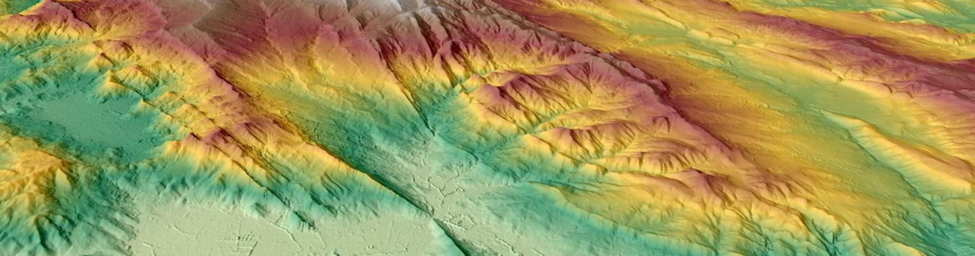
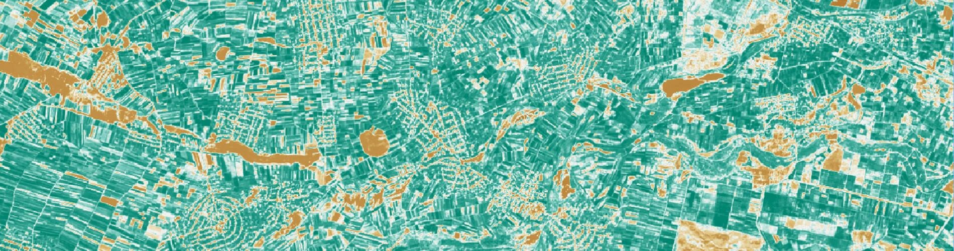
Digital Terrain Models (DTMs) and Digital Surface Models (DSMs) are suitable for pre-crisis modelling aiming at delimitation of area at certain risk of flooding. DTMs and DSMs are elaborated with use of automated methods on the base of satellite EO data. DEMs are basic information for any kind of hydrological modelling and it is crucial for them to be complete, detailed and up to date.
-
Environmental analysis support
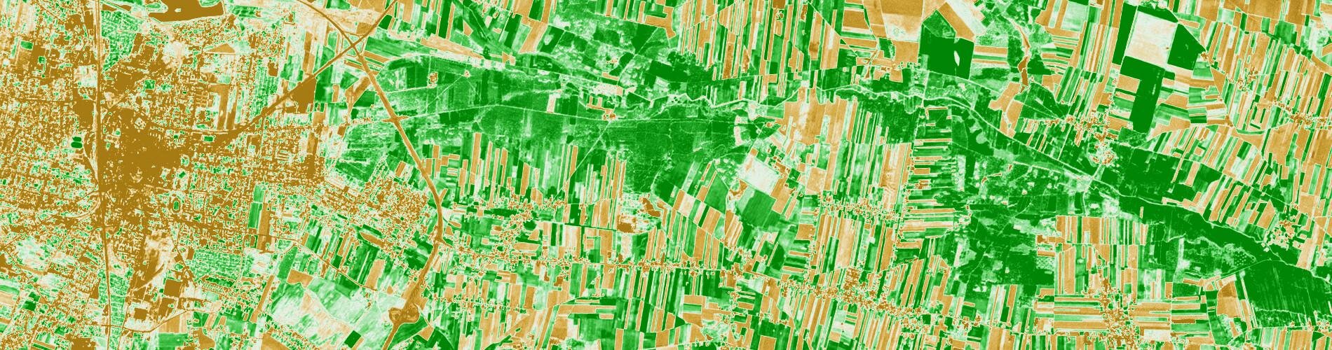
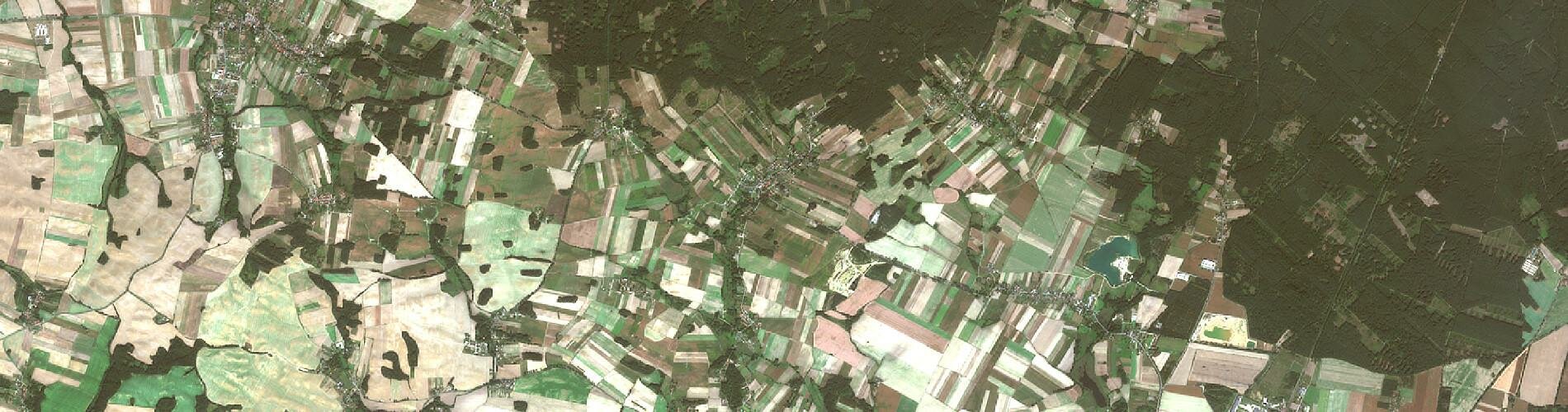
This service aims at provision of current information on forests coverage, pastures and grassland as a reference for dynamic phenomena monitoring, provision of data on landscape types and landscape indices, provision of scenarios of updating of land cover map corresponding with the needs of climate change analysis and climate change mitigation analysis.
-
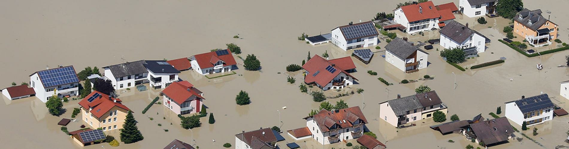
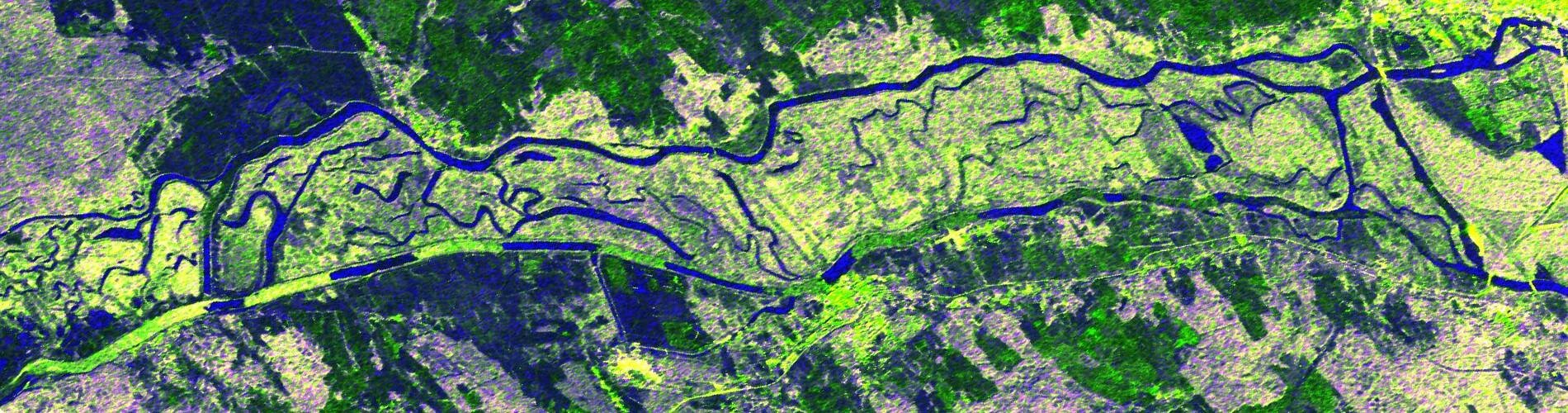
Flood inundation extent maps are derived either by flood modelling or by analysis of EO data. Flood evolution and probability map could be derived from dense time series of satellite imagery. Archive satellite imagery could be used to describe historic flood events.
-
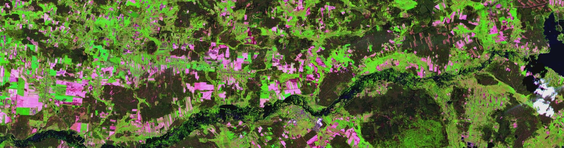
Information on land use and land cover, including hydrographical information and elements of topography build a resource of spatial information widely applicable in crisis management and flood protection practice.
-
River ice causes floods through the blockage of water flow in river bed. In addition, icing affects the transportation function of the river. Observation of river ice is part of water management and presently is conducted in irregular network of in-situ ice measurement. Ground-based monitoring of river ice is rather expensive and restricted to a few rivers. River ice monitoring service will support in-situ measurements in a complementary way using public and free of charge data from Sentinel-1 satellite.
-
Satellite monitoring of agricultural productivity
Satellite imagery represents a valuable source of information about agricultural processes. Earth observation facilitates mapping of spatial distribution of crops, monitoring of plants development and early identification of anomalies.

Where we work?
Pilot countries include Armenia, Georgia, Moldova and Poland.
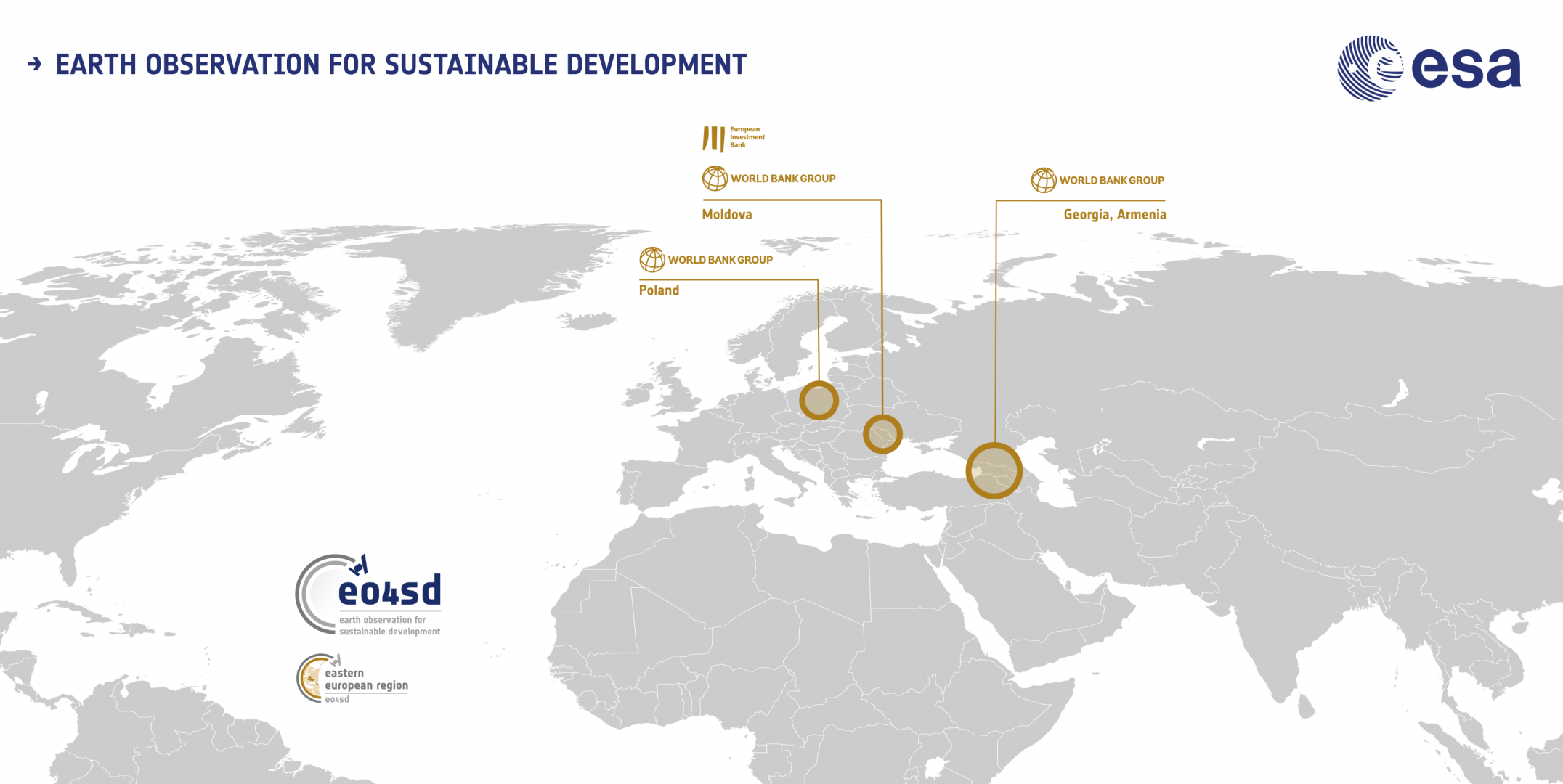

Project Consortium
The project is developed and implemented by a consortium of specialist service providers in the European Observation sector. The consortium combines EO technical capabilities and wide experience in developing geospatial products and services. The list of consortium participants contains:
Space Research Centre, Polish Academy of Sciences (lead), GEOSYSTEMS Polska Sp. z o.o., ASTRI Polska Sp. z o.o., GeoPulse Sp. z o.o., GISAT s.r.o., Polish Center for International Aid.